Abstract
Integrates UAV photogrammetry and terrestrial laser-scanning point clouds to build a complete model and compare 2018 and 2020 data for millimetre-scale analysis of inclination and torsion.
Integrates UAV photogrammetry and terrestrial laser-scanning point clouds to build a complete model and compare 2018 and 2020 data for millimetre-scale analysis of inclination and torsion.
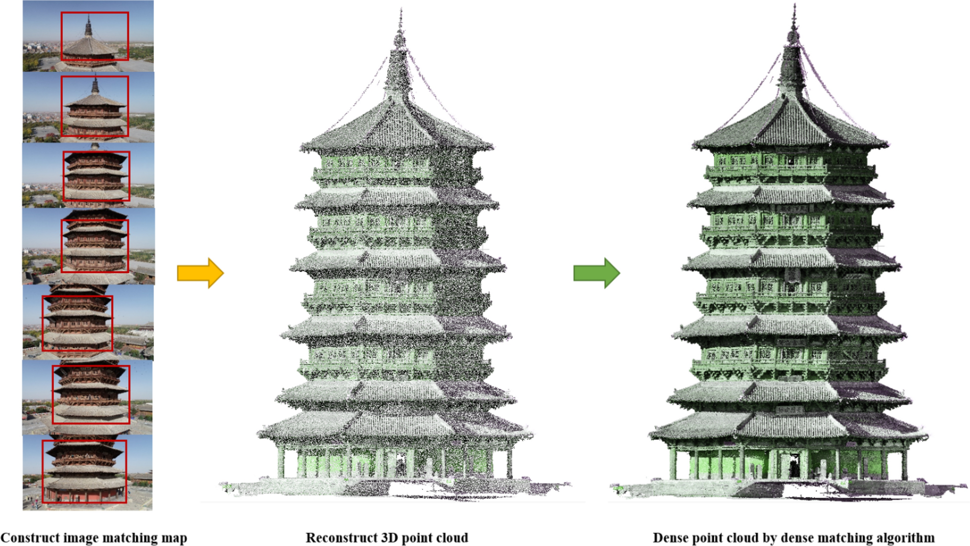
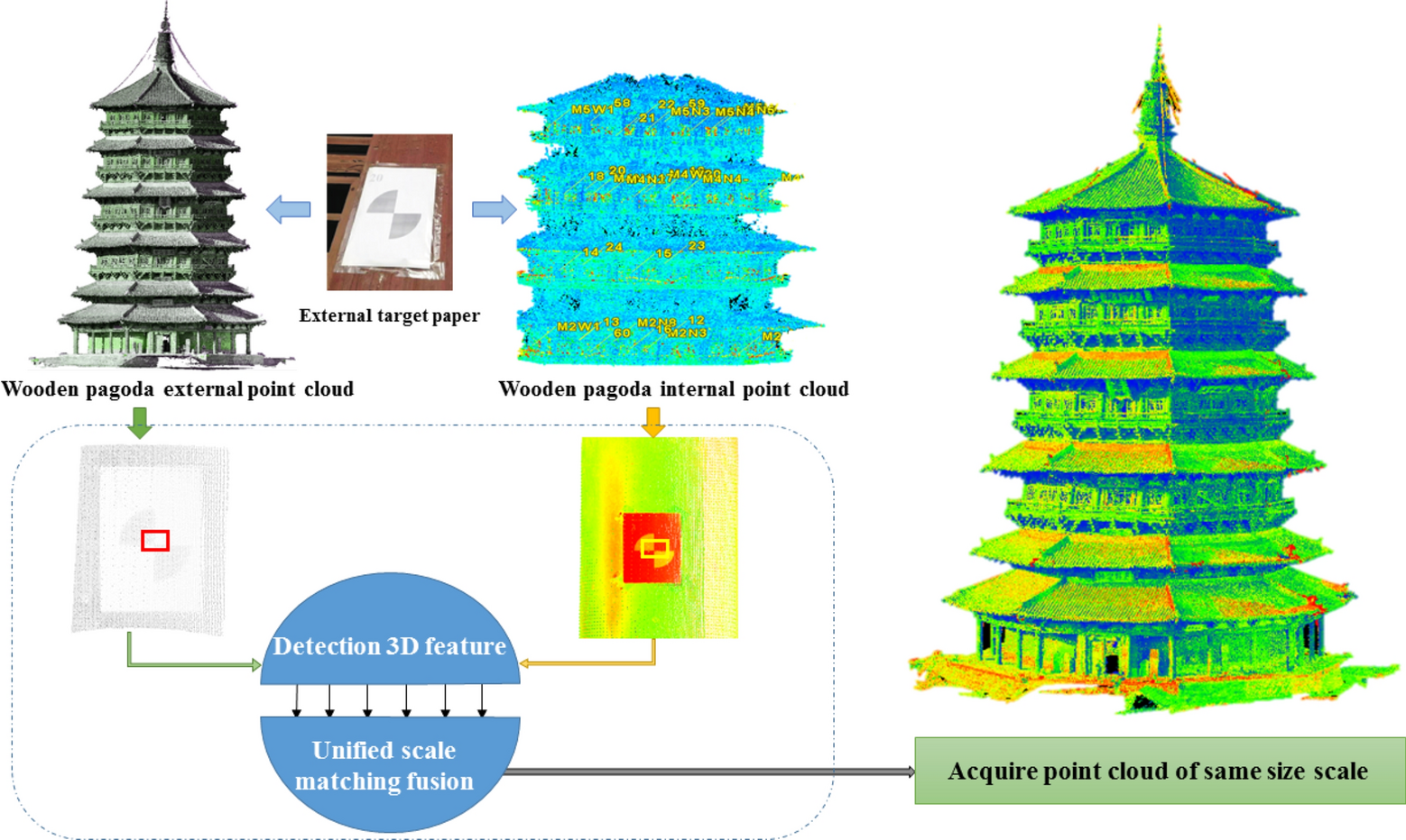
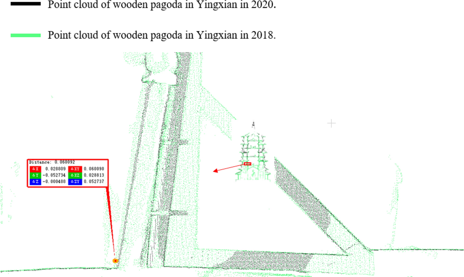
Integrates UAV photogrammetry and terrestrial laser-scanning point clouds to build a complete model and compare 2018 and 2020 data for millimetre-scale analysis of inclination and torsion.